The Utility Network (UN) platform extends beyond system upgrades and represents a strategic transformation. With an emphasis on utility infrastructure modernization to support increased demand, intermittent renewable energies, and real-time control of utility assets, Geographic Information System (GIS) platforms, like Esri’s UN GIS solution, are now expected to not only map and geo-locate assets but also to provide an accurate, detailed network connectivity.
Legacy GIS solutions have challenges in addressing current complex operational requirements, and many legacy GIS solutions are reaching the end of life. As a result, utilities are reassessing their digital foundations, with many transitioning to the UN as the next phase in spatial network management and enhancing integrated enterprise systems.
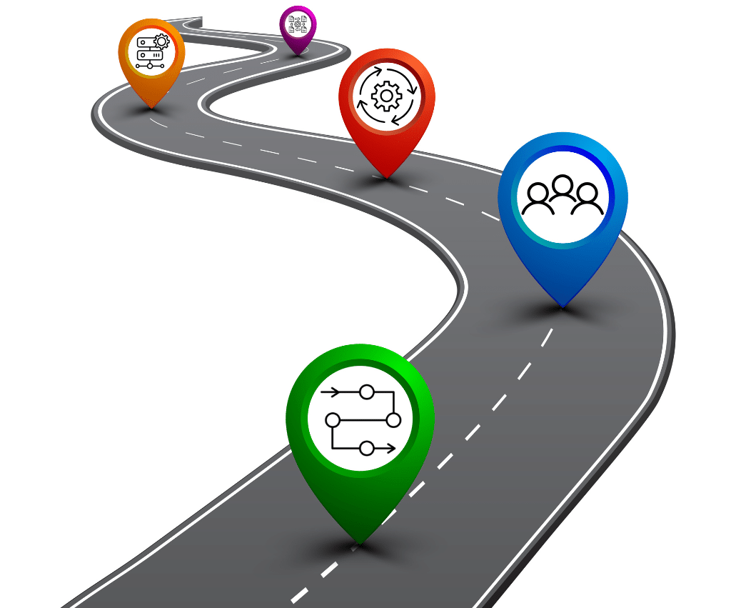
This article launches a six-part series examining how utilities can effectively transition to the Esri UN. It introduces the UN solution, highlights the key drivers behind this transition, and emphasizes how comprehensive, structured planning secures long-term benefits and successful end-user adoption. Throughout the series, we will further explore the underlying architecture, migration challenges to avoid, planning frameworks, implementation strategies, and long-term optimization practices required to build a resilient and future-ready GIS environment.